
|
Question 1:
What is the name of the coordinate system for volcanoes? Solution: Projected Coordinate System: NAD_1983_Oregon_Statewide_Lambert |
Map 2

Map 3: RIVERS

MAp 4: highways
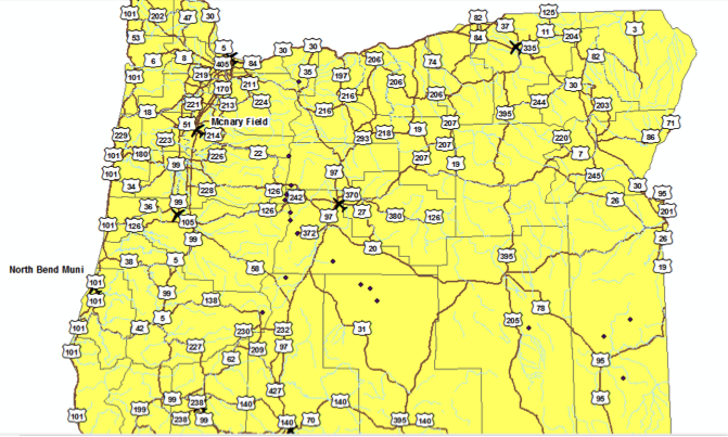
map 5: volcanoes

Question 2: What is the data type of these two attribute fields in the volcanoes feature class?
Solution:
Elevation – Numeric Data type linked to a quantities map.
Type – Categorical Data type – identifies a category based on certain attributes.
Solution:
Elevation – Numeric Data type linked to a quantities map.
Type – Categorical Data type – identifies a category based on certain attributes.
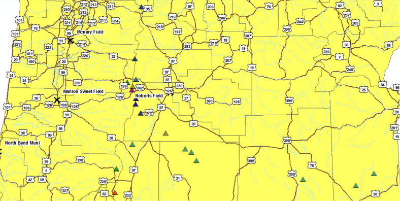
Map 6: Volcano Type
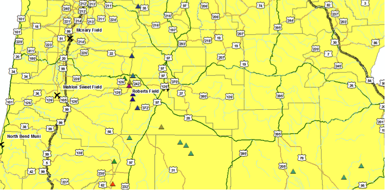
Map 7 – Highways
|
Question 3: What three values are found in this field? Can you decipher what they mean by examining the other fields for clues?
Solution: Values are – S, U and I. I – Interstate Highways S – State Highways U – US Highways |
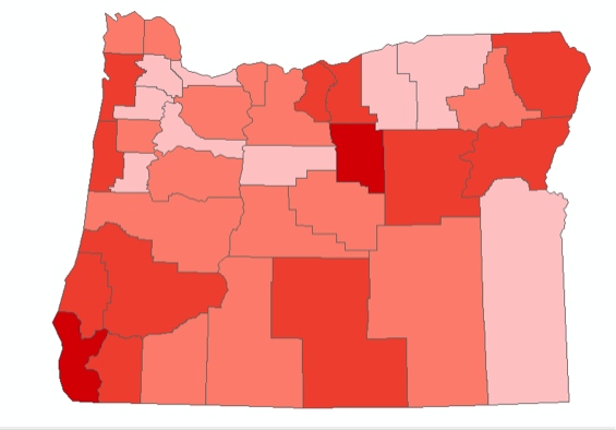
Map 8 – Population Density
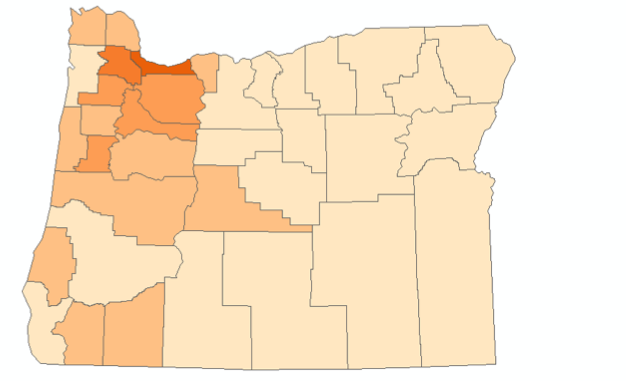
Question 4: What kind of data does population represent? What kind of map should be used to display it?
Solution:
Population contains numerical data. So it should be portrayed using a quantities map and the values must be classified.
Solution:
Population contains numerical data. So it should be portrayed using a quantities map and the values must be classified.
Map 9 – Median Age
Map 10 – Cities

Map 11 – Elevation
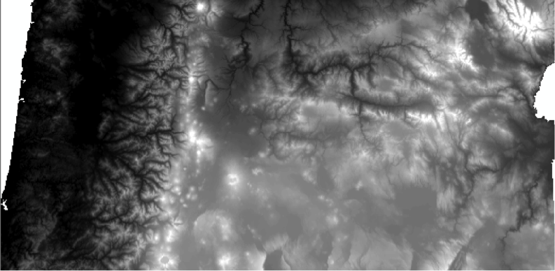
Question 5: What kind of data type is elevation? What kind of raster display method could be used to display it?
Solution:
Elevation is in meters and is therefore a numeric data type. Stretched method along a color map can be used to display it.
Solution:
Elevation is in meters and is therefore a numeric data type. Stretched method along a color map can be used to display it.
Map 12
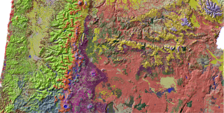
Question 6: What type of data does this raster contain? What type of map should be used to display it?
Solution:
The data represents elevation in meters. Stretched map along a color ramp should be used to display it.
Solution:
The data represents elevation in meters. Stretched map along a color ramp should be used to display it.
Map 13

